
Race: XXI Marxa de Resistència del Castells de la Segarra
Date: 8 de Març de 2020
Introduction
For several years now, I have been shopping for a big destination ultra. I wanted to go somewhere interesting, run a challenging course, experience amazing hospitality and bask in a beautiful landscape. I found this particular race about a year ago and it has been on my radar ever since.
For several years now, I have been shopping for a big destination ultra. I wanted to go somewhere interesting, run a challenging course, experience amazing hospitality and bask in a beautiful landscape. I found this particular race about a year ago and it has been on my radar ever since.
I finally pulled the trigger on this race when I received a nice bonus from employer. I have also starting dating a girl with family in this area, and she was available to travel with me. Thus, my plans grew to include some additional sightseeing and family visits. We took a week, and got to experience Barcelona, Ibiza, Valencia and the Segarra region. We walked everywhere as I logged over 248,000 steps!
The Race (http://marxadelscastells.com/wpmarxa/)
The March of the Castles of the Segarra is a "race" that places annually in the province of Lleida, Catalonia, Spain. There are two options: 54.14km (33.6 miles) and a 37km (23 miles). I entered the 54km. The price was about unbelievably low ... €30 (about $35)!
Registering was interesting. The website is in Catalan instead of Spanish, and I had to use Google Translate extensively. It's not bad, but it's not perfect either. I also had some issues with my credit card not being accepted through their preferred online registration portal. I wound up communicating with the RD through email (and Google Translate) and paying through PayPal. It took a couple of days, but eventually it was all squared away. The RD was both helpful and patient.
Many people hike/walk the entire course, but most of the participants employed a comfortable ratio of jogging and brisk walking. I have since learned that this type of "not quite a run" event is popular in Europe.
Packet Pickup
The race begins and ends in the small town of Cervera (population 9000). The town is most famous for it's university (behind me), which is where we did packet pickup. It is also the start/finish line.


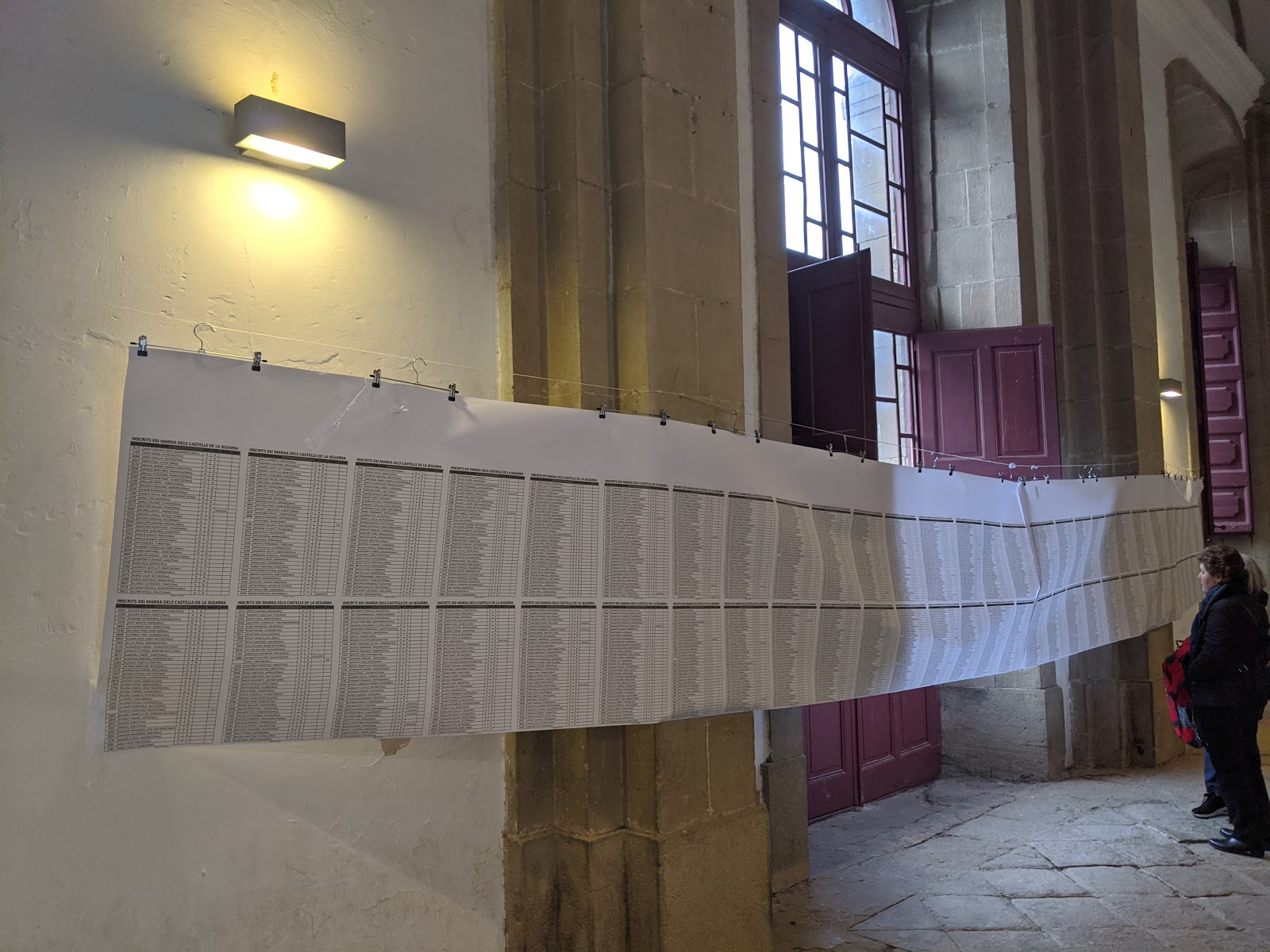
There were over 2,200 people registered for both events!

Packet pickup was quick and relatively easy. It helps to ask for English speakers when going through the various lines.
They change the incentive/reward each year, and I could see lots of shirts and jackets from previous years. This year, the swag was a nice backpack.

This is a scale model of the university. NRR, but cool.

There were no bibs or timing chips. Rather, we were required to check in at five different checkpoints using an ATM style card. I was hoping to keep my card as a souvenir, but they collect them at the end of the race.

---
The "quiet before the storm" ... the start/finish line is just outside of this courtyard.

We're all going to squeeze through that narrow street!


Go!
And we're off!

There would be several places throughout the course where we would wind our way through narrow village streets.


Finally approaching the edge of town ... about to leave Cervera for the Catalonian countryside!


The mountains were often visible in the distance. To the distant north lay the Pyrenees and the border between Spain and France.

Looks like about 50 people photobombed my selfie ...

There was a large and deep mud puddle right around the entrance to this tunnel. I opted to go prancy-foot and try to keep my feet dry. I still had 31+ miles to go and didn't want to get wet feet unless it was necessary.
You can also see the swag backpack a little better here than in the pic of me at packet pickup.

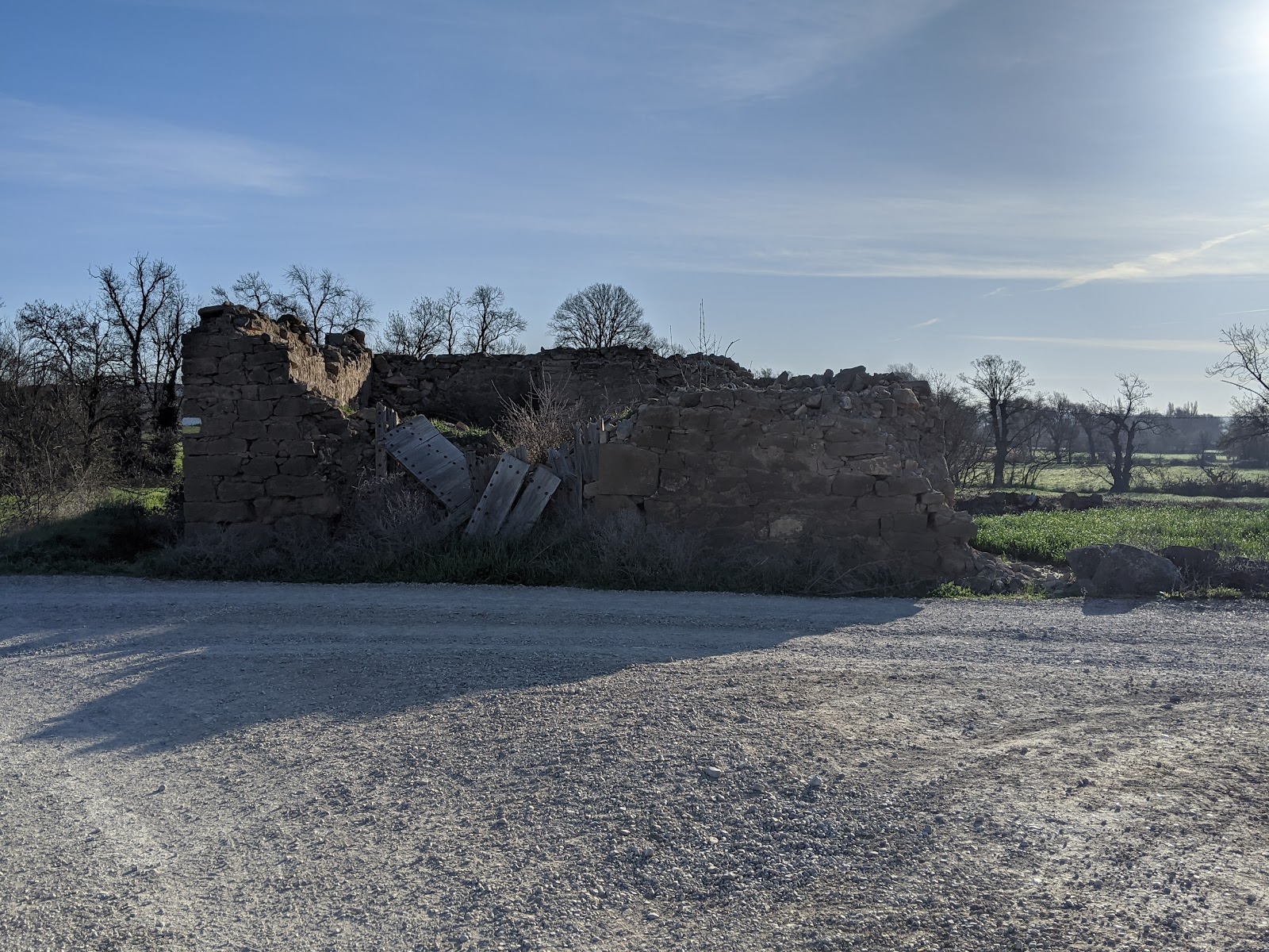
The entire course showed various layers of ruins. Some dated back to the Roman era, but most of it was from the medieval era. I wasn't always sure which was which.


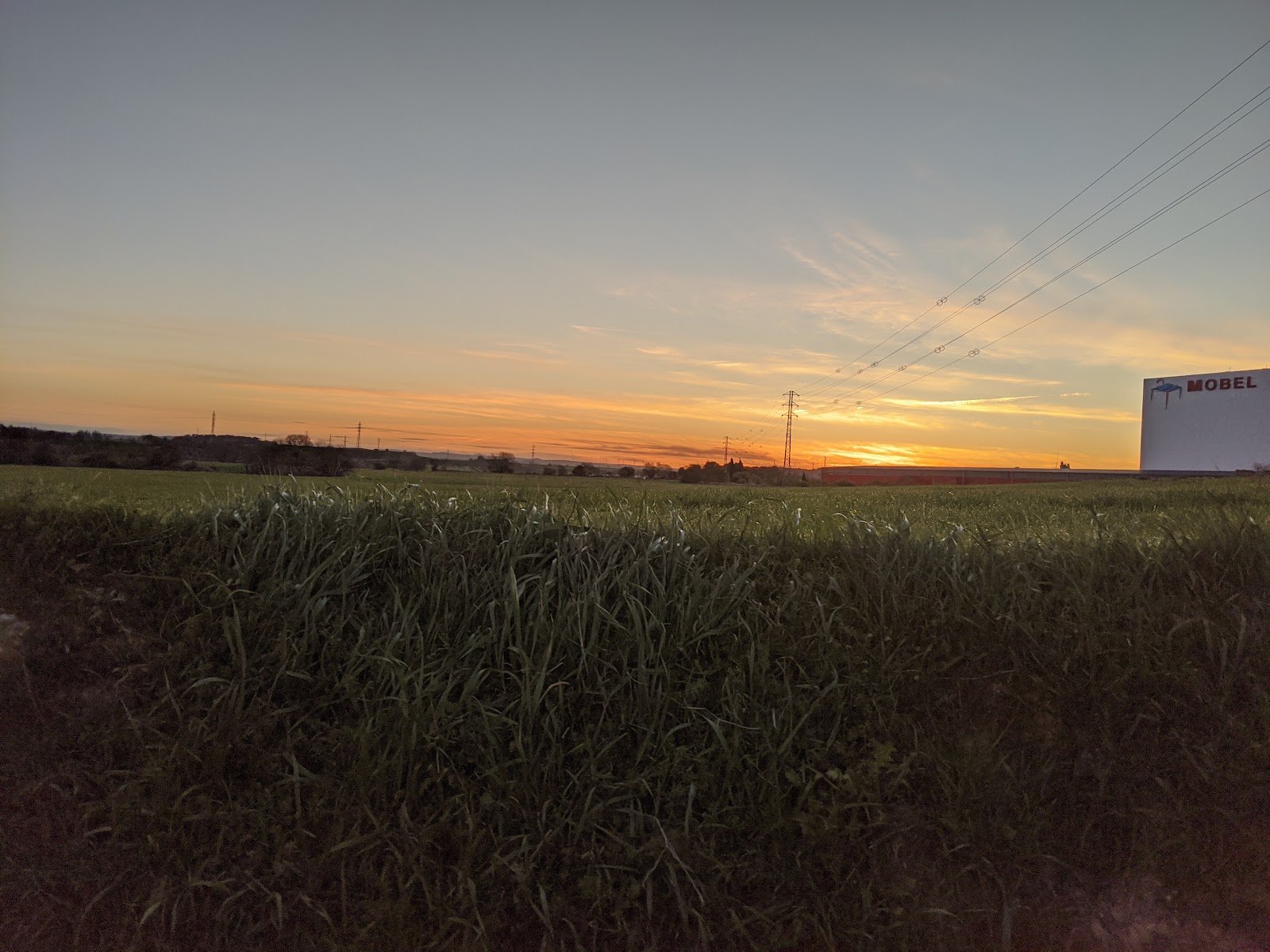
I tried to capture the sunrise. Turns out it was going to be a beautiful day. Temperatures started in the high 30s, but was in the mid 50s most of the day. It would be quite sunny with a steady breeze.


I'm not sure, but I think these are either cherry or almond trees. I know the region is well-known for their almonds ... that's my guess.

Approaching the first aid station in L'Aranyó. Thi little town is home to the Castell de l'Aranyó and Iglesia de l'Assumpció.


We walk right through town. The cobblestone roads were rough to run on, so walking through the little towns was prudent.

Not sure which castle is off in the distance, but this kind of view was extremely common. Castles and cathedrals were visible in all directions from just about any spot on the course.
I'm told we went by 20+ different castles, but if you count the ones we could see in the distance, it's much more than that.


Aid station fare was fine, but I had not ever ate any of the specific brands. I was afraid that something might disagree with me, but it was fine throughout the whole day. I did find that I really like pineapple juice.

This is Manuel de Pedrolo i Molina. He was born in this town. He wrote the 1974 Catalan sci-fi novel Mecanoscrit del Segon Origen (Typescript of the Second Origin). In 2015, it was made into a movie named Segon Origen (https://www.imdb.com/title/tt1382727/).

Looking back ...

There wasn't a lot of road running over the length of the course, but there was some. I wore a pair of road shoes and it was just fine. Most of the course was a hard dirt surface.
The castle to the right is Castell de Montcortès. Portions of it are over 900 years old, and it's been owned by the same family since the early 1600s.
https://ca.wikipedia.org/wiki/Castell_de_Montcort%C3%A8s


I went right. That's where the castle is.


This guy buzzed us a few times. I thought it was kinda funny ... an ultrarunner and an ultraflier.
Not sure if he was taking pictures or was just having fun. I took about 15 pics trying to get him. This was the best I got.


Here's a cow memorial (inside joke).

A villa off in the distance. It's southwest of Hostafrancs near the Riu Sió (aka the Zion River).

Here are the ruins of an ancient Roman aqueduct. I thought it was really cool to see this so up close.


And just a little bit later, we're directed to run along this canal. I can't help but imagine it serves a similar purpose to the ancient structure. They were oriented in the same direction.


I cast a pretty sweet canal shadow.

Along the way to Sistero.


Dig the mountains on the horizon!


Entering Les Pallargues.

The office of Ajuntament de Els Plans de Sió (aka the village hall) for the entire region of Els Plans de Sió.

The entrance to El Castell de les Pallargues in Les Pallargues.
https://ca.wikipedia.org/wiki/Castell_de_les_Pallargues


More ruins of some sort ...


I'm not sure what this structure was. Technically, it wasn't on the course, but I felt like a small detour. Fascinating ...


Approaching Florejacs (which means "the flower fort").
Portions of the settlement date back to the Roman era. Current population: 52.


I was really excited to see this location. It is one of the better preserved castle/cathedral sites on the whole course. It changed hands between Christian and Muslim forces multiple times.

It was a steady uphill climb for almost a mile. It was often single track and over difficult terrain. This was the most technically difficult portion of the whole course.

Ain't she purty?


Florejacs was both an aide station and the second checkpoint. I'm about 1/3 of my way through the course.
Note the chocolate-dipped croissants. I took a couple. They also had locally-source almonds.

I'm in the upper left corner (inside the red circle).


With Florjacs in the rear view, we turn eastwards towards Guissona.

I believe this is El Castell de les Sitges in the distance.


Terraced farmland was really common throughout the whole course. In some cases, the walls were taller than I am, while in other places it was knee-high. I suppose they do this to make it easier to farm. The countryside was truly undulating and uneven. Rarely was it ever a steep grade, but it was rarely ever truly flat.


I snuck (or sneaked?) into the castle. Tours were available, but I had a race to finish.

Just past the castle lies the ruins of Sant Pere del castell de les Sitges.

Leaving any of the settlements usually involved a lit bit of downhill ... niiiice.
But approaching any of the settlements usually involved a bit of uphill ... *all* the castles were up!


By this point, I was taking fewer pictures. My battery was getting low and my stamina was starting to flag a bit. I was looking forward to Guissona, the next aide station. This lonely memorial marker was on the outskirts of town.

The whole course marked with these blazes. It was an extremely well-marked course.

The Museu de Guissona.
Shortly after passing this place, I hit the aide station (no pics) where they had a much more expansive selection of food. This is where the race ended for the 37km participants. I've got about
I had a sandwich, which the website described as "botifarra, cansalada, formatge, acompanyament de ceba crua que fa aixecar la cua."
Google Translate renders this as "sausage, bacon, cheese, raw onion accompaniment that raises the tail." Raises the tail?
About 10 miles to go.


This is Falip, a cattle farm near El Llor (when means "the Cry").


The Sant Julià del Llor in El Llor. It is at least 900 years old.
https://ca.wikipedia.org/wiki/Sant_Juli%C3%A0_del_Llor_(Torrefeta)

You can't quite tell, but there are horses back there. I really thought I'd see more horses. The Spanish are quite proud of their horses. I was hoping to get my picture taken with a descendant of Babieca.
https://www.encyclopedia.com/humanities/dictionaries-thesauruses-pictures-and-press-releases/babieca


Approaching La Mare de Déu de la Llet, which is dedicated to the breastfeeding mother of God.


The terraced farmland was stunning ... it amazes me how much terraforming was necessary to make the land arable.

One final look back at the

The town of La Prenyanosa.

Approaching the aid station at Castellnou d'Oluges.
https://ca.wikipedia.org/wiki/Castellnou_d%27Oluges


The volunteers were amazing and patient. Many of them spoke English are exceptionally hospitable. Muchas gracias!

This is the Sant Pere de Castellnou d'Oluges, which I believe is still a functioning parish church.

The first glimpse of Cervara since the start! Turns out it's not a direct route from here to there. I'm still about four miles from the finish.


Finally entering the home stretch! Somebody needed to be playing "Sweet Caroline" on the radio.


And here I am! Whooo!


It took my 8:34 to finish. My Garmin showed a total distance of 34.34 miles with a pace of 14:59/mile.


It's A Wrap!
What a wonderful event! It was an amazing experience and one that I (unfortunately) enjoyed so much. I'm afraid that I'll be spoiled from here on out ... would I do it again? Absolutely.
For the record, this was my 47th finish of races that are longer than a marathon (18 marathons and 29 ultras).
I might come back and pretty up this article. I tried adding as much info and minor detail as I could to the pics. I might have misidentified a landmark or two. Consider this a living document.